Georeferencing the images
Once these high-resolution images were made in the photo lab of the School of Forensic Science (ESC), the next step consisted in georeferencing them digitally. By doing so, they could then be used to create a 3D model to reproduce the globes virtually. Alexandre Hirzel, a specialist at UNIL’s Geography IT Systems (SIG) unit, was put in charge of this task.
Below is an explanation of the various operations involved in modelling the terrestrial globe using the ArcGIS Desktop 1.3 (ArcMap) application. The process was identical for the celestial globe.
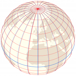
A network of longitudes (in red) was created based on Mercator’s prime meridian passing through Fuerteventura in the Canary Islands. This represents a 14.1° westward shift in relation to today’s prime meridian passing through Greenwich (in blue).
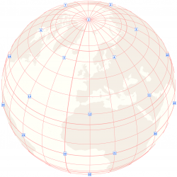
The process used to photograph the globes produced 42 images centred on selected longitude and latitude intersections.
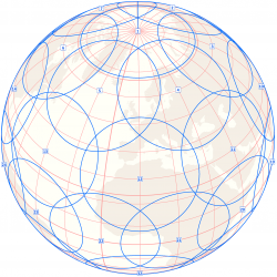
The colour, lighting and sharpness of the images had to be as uniform as possible. A usable circular area was therefore determined for each one.
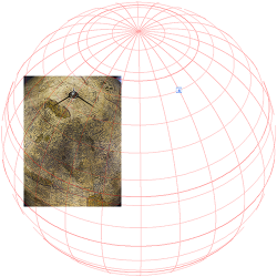
Each rectangular photo was georeferenced so that it could then be laid precisely over the virtual globe.
To correct the distortions due to perspective as much as possible, the globe was displayed using the World Vertical Perspective projection from an altitude of 35,800,000 metres. On scale, this altitude corresponds to the distance from the camera to the globe.
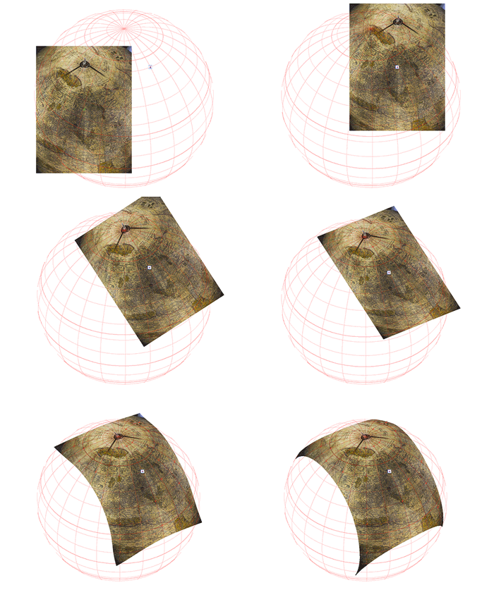 The graticule intersections on each image were then matched with those of the virtual grid. Each of these anchor points made it possible to improve the georeferencing.
Since the globes are not perfectly spherical, a non-parametric alignment using the Spline algorithm yielded better results.
On average about 30 of these anchor points were needed to ensure an optimal alignment.
To highlight this process, in the above animation the point focal is shifted in relation to the centre of the globe. Actually, the globe was centred so that its geometry would resemble the conditions of the image capture as closely as possible.
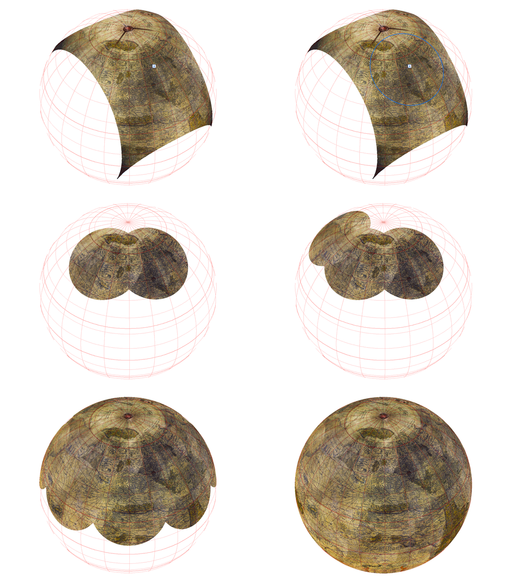 The centre of each image was cropped so as to keep only the most uniform portion in terms of colour, lighting and sharpness.
The cropping process was repeated for all 42 photos.
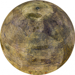
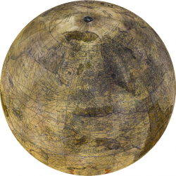
The “blend” function made it possible to weight the tiles’ display in relation to the distance from their centre and thus to fit them together more seamlessly.
- Virtual globe before weighting
- Virtual globe after weighting
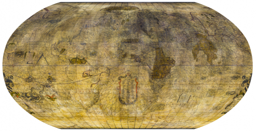
- Robinson projection
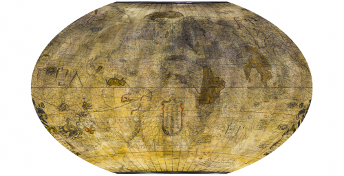
- Winkel-Tripel projection
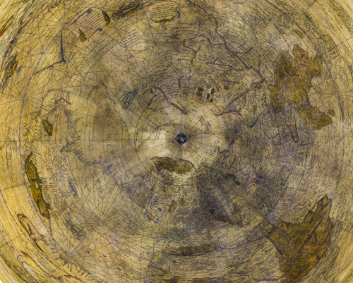
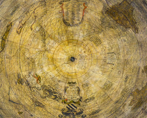
- Lambert Azimuthal projection – North Pole
- Lambert Azimuthal projection – South Pole
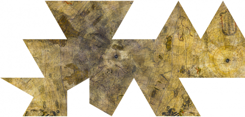
- Fuller projection (extended icosahedron)
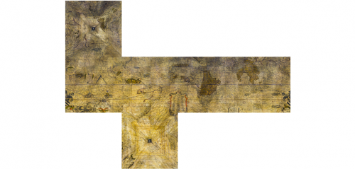
- Extended cube projection
Find out more
- Procédure pour la photographie des globes de Mercator : Procedure for photographing the Mercator globes, Alexandre Hirzel, IT Centre, UNIL | University of Lausanne.
