The expanding world

The expansion of known space during the Age of Discovery, from the mid-15th to the late 16th century, enabling Europeans to apprehend the world as an entirety and to recognise all the Earth’s territories that could be reached by sea. The historian Pierre Chaunu called this view the “désenclavement planétaire”, or end of global isolation, which marked the start of modernity.
The acceleration of geographical discoveries and the development of navigation created a crucial need for innovations and state-of-the-art instruments to ply the world, measure it and represent it. From 1450 the advent of the printing press made it possible to circulate texts and translations of ancient scientific documents in large numbers. The Renaissance forged ahead, paving the way for new ways of seeing and hypothesising the world. Gerardus Mercator embodies this spirit of invention in the field of cartography.
Intellect and pragmatism
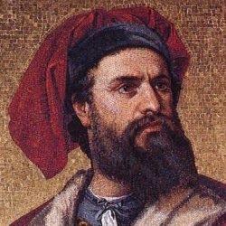
- Marco Polo (1254-1324)
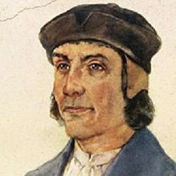
- Bartolomeu Dias (1450-1500)
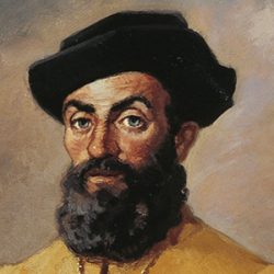
- Ferdinand Magellan († 1521)
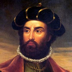
- Vasco da Gama († 1524)
On the face of it, two major influences marked cartography during the Renaissance, one intellectual and the other pragmatic. These two tendencies would coexist, interpenetrate or collide. The work of the Greek scientist Claudius Ptolemy, regarded as the leading light until the Renaissance, was repeatedly called into question in the wake of new discoveries and the accounts of the great mariners.
Geographic frontiers had been rolled back considerably since Marco Polo in the 13th century and Portugal’s explorations in the 15th century. After the first circumnavigation of the Earth by Ferdinand Magellan and his crew, in 1522, the outlines of the main continents were nearly sketched.
New maps were appearing year after year, capturing mankind’s burgeoning knowledge of the Earth. Fresh discoveries were added; for regions they still lacked information about, cartographers referred to the accounts of explorers and Ptolemy’s Geography.


