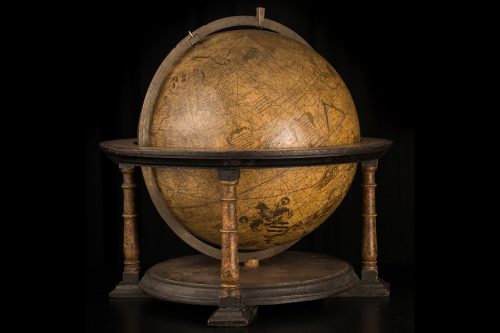
THE TERRESTRIAL GLOBE
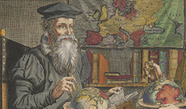
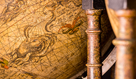
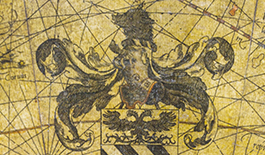
The terrestrial globe is a scale model of the Earth as perceived and calculated by Gerardus Mercator in the first half of the 16th century. Its content was inspired by the writings of Ptolemy and the accounts of great explorers’ voyages. The sphere is covered by gores that were printed from the plates engraved by Mercator in Leuven in 1541. The globe was dedicated to his friend Nicolas Perrenot, lord of Granvelle, an influential adviser and chancellor in the court of Charles V.
Innovations of the terrestrial globe
Gerardus Mercator was undoubtedly the scientist who best mastered the production of printed globes in his day, contributing numerous innovations and improvements to the process.
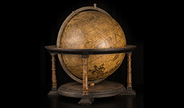
A pioneering series
Mercator did not invent everything. Like all scientists he drew on the discoveries of his predecessors, here and there making corrections or contributing innovations of his own […]
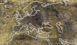
Rectifications of ancient geography
Knowledge of geography had been dominated by the Ptolemaic view since Antiquity. Yet this conception was gradually discredited by new observations […]
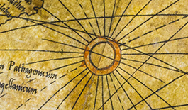
Wind roses and rhumb lines
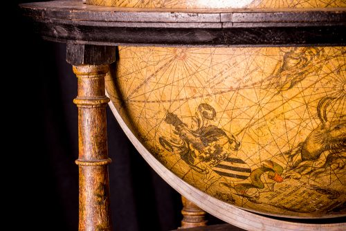
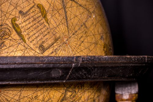
Mercator’s printed globes were the first to display a system of wind roses that served as starting points for rhumb lines […]
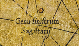
Stars and constellations to guide travellers
Mercator sought to improve his terrestrial globe by showing stars, as Gemma Frisius had done, which travellers could use as reference points […]
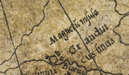
Terrestrial magnetism
Mercator’s interest in terrestrial magnetism made him a forerunner in this area. He tried to explain why the magnetic north pole did not correspond to the geographic one […]
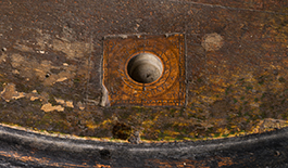
Magnetised needle
A magnetised needle was set into the stand of each of the two globes. Such needles were meant to help determine longitude […]
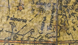
New prime meridian
The prime (or zero) meridian serves as a reference for longitudes. Mercator placed his prime meridian on Fuerteventura in the Canary Islands […]
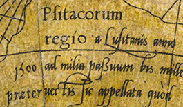
New calligraphic convention
Mercator established a new convention for printing the names of places and geographical features. By using different fonts and type sizes, he introduced the notion of an information hierarchy […]
Description of the terrestrial globe
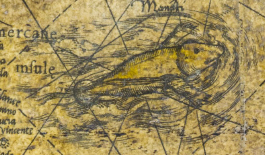
Although engraved in fine detail the terrestrial globe contains many geographical errors compared to reality. Even so Mercator intended it to provide a revised image of the world.
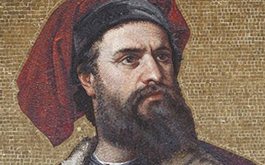
Influences and sources
Mercator was influenced by Ptolemy and Marco Polo but he did not bow to them. He knew how to use their writings while also rectifying and surpassing them […]
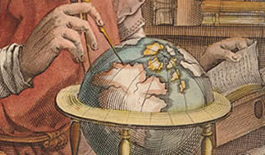
Measuring the world
On his terrestrial globe Mercator divided the known world into five parts: Europe, Africa, Asia, America and Quinta, a newly discovered southern continent […]
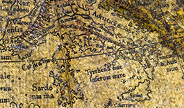
Europe
Mercator decisively corrected the outline of the Mediterranean basin by reducing the longitudinal overextension inherited from Ptolemy […]
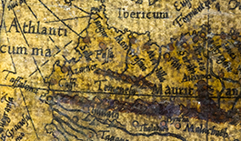
Africa
To draw Africa, Mercator no doubt referred to Martin Waldseemüller’s Carta marina navigatoria […]
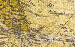
Asia
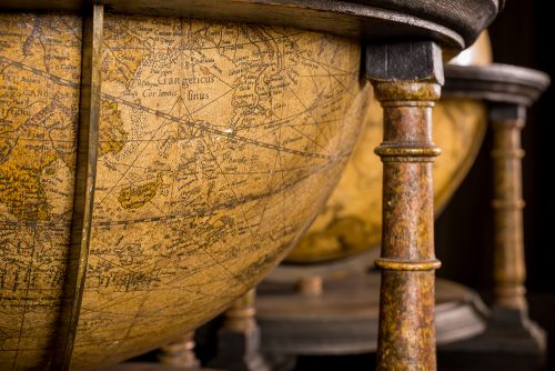
In Asia, Mercator tried to make the most recent discoveries fit with the representation inherited from the ancient geographers […]
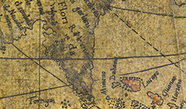
America
In Mercator’s day, America was a largely unexplored continent whose coastlines were still only vague. Despite the dearth of information, it is represented as completely as possible […]
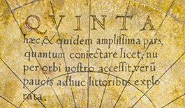
Quinta
Mercator tried to prove that this fifth landmass existed and was huge, as if it were necessary to counterbalance the weight of the other continents […]
