Asia

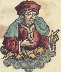
Paulus Venetus (1369–1429)
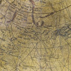
The difficulty of reconciling Ptolemy’s view of South Asia and recent discoveries there was likely the main reason that prompted Mercator to produce his own terrestrial globe. He strove to adapt the representation of the Earth inherited from the ancient geographers to the findings of the 16th century.
Even so, there are still numerous errors in Mercator’s portrayal of the Asian continent: it stretches too far to the west. Other inaccuracies stem from a misinterpretation of Marco Polo’s travelogue.
In various insets illustrating Asia, Mercator refers to Paulus Venetus, or Paul of Venice, an Italian philosopher whom he also used as a source.
 People travelling the Mongolian routes in the Middle Ages crossed a region whose inhabitants were called Khitans or Kitai. This gave rise to the name Cathay, which at the time designated a territory corresponding roughly to China.
Twenty years before Marco Polo, Guillaume de Rubrouck, a Franciscan monk originally from Flanders, provided the first-ever description of Chinese, Uyghurs, Tanguts, North Tibetans and Koreans.
Other clergymen sojourned in Armenia, Persia, Mongolian China and Cathay in the 12th and 13th centuries, but it was mainly thanks to the writings of Marco Polo Cathay would become a legendary land.

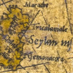
The island of Ceylon was initially known by the enchanting name Trapobana. This word evoked the island’s shape (tamraparni in Sanskrit) as well as the colour of its earth (tambapanni in Sinhalese).
For Greek sailors Trapobana was the Antipodes, i.e. the land at the end of the Earth. It was reached by the fleet of Alexander the Great in the 6th century BC. Much later a number of rich Venetians would visit the island and the neighbouring areas.
Trapobana was not only fabled for its riches but also because, since the voyage of the merchant Suleiman in the 6th century, it was said that Adam and Eve had found refuge there. Many Christian authors would therefore stubbornly imagine Trapobana as Heaven on Earth.
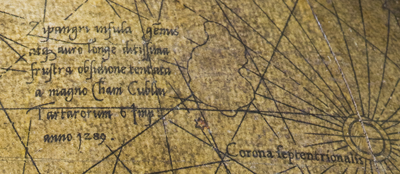
Although Polo never set foot there, Zipangri frequently filled his dreams and fantasies. It thus came to represent all that is most fabulous about the Orient, stirring the fancy of travellers, merchants and cartographers across the West. It was in an attempt to reach these regions that Christopher Columbus sailed west, in 1492, and would only admit after his third voyage that he never arrived there.
The Land of the Rising Sun was finally reached by the Portuguese in 1543. However, the archipelago’s composition and coastlines remained obscure until the late 16th century. The first more or less accurate map of Japan would not appear until the dawn of the next century.
