Influences and sources
Mercator was influenced by Ptolemy and Marco Polo but he did not bow to them. He knew how to use their writings while also rectifying and surpassing them, integrating the pragmatic knowledge gleaned from recent discoveries into his work.
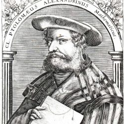
Claudius Ptolemy
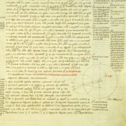
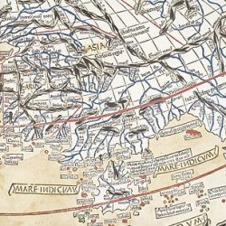
Almageste influenced Mercator’s representation of the outline of the Mediterranean basin, the interior of Europe, the islands dotting the Gulf of Arabia, the sources of the Nile, the mountains of Africa, the waterways that empty into the Persian Gulf and the Caspian Sea, those that cross Asia, the Indus and Ganges Rivers on the Indian subcontinent and a few other rivers in China and Siberia.
Yet Mercator added considerable breadth and depth to Ptolemy’s legacy. He represented the recently discovered American continent, raised Africa from beneath the blank Southern Ocean all the way to the Cape of Good Hope and revealed new parts of Asia between Cape Comorin and the Malacca peninsula. Groenlandia, Islandia, Norvegia, Livonia and many other names of cities and kingdoms were also new, replacing the ones used by Ptolemy in his day.
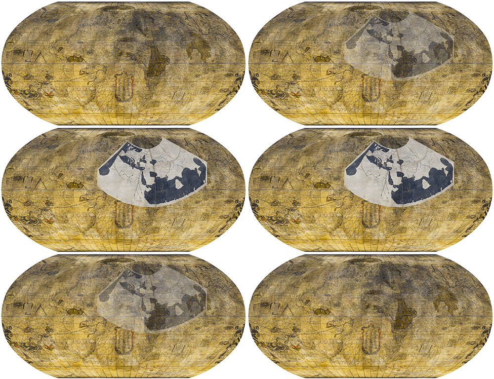
Robinson projection of Mercator’s terrestrial globe with an overlay of Ptolemy’s map. @ UNIL
Mercator’s terrestrial globe shows most of the discoveries or geographical reconnaissance reported by contemporary mariners and great explorers. Obviously, these features did not appear in Ptolemy’s work. Mercator thus went a long way towards discrediting the Greek geographer, whose writings were gradually consigned to the dustbin. Mercator can be regarded as the agent of this change and as the founder of modern geography.
Marco Polo
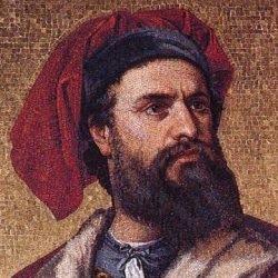
- Marco Polo (1254-1324)
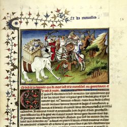
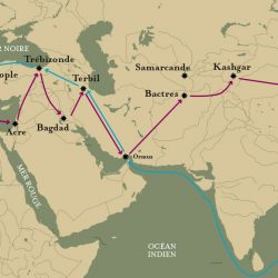
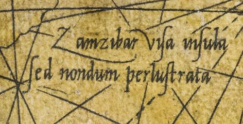
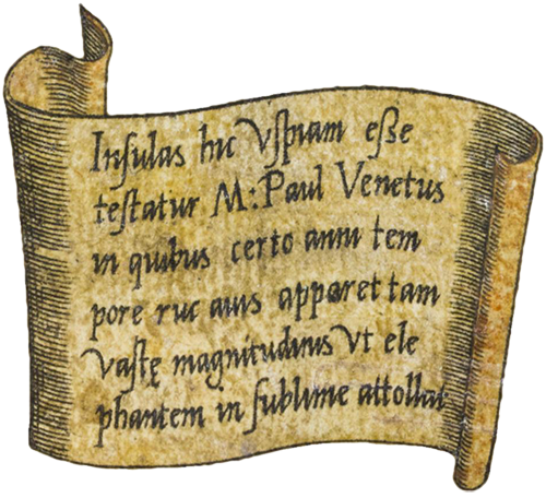
In 1271 Marco Polo left Venice to explore the Orient. Accompanied by two other Venetian merchants, he crossed the high Anatolian plateaus, Iran, Upper Afghanistan, Pamir and Chinese Turkestan, finally arriving in Beijing. He remained in China for sixteen years, travelling extensively around the country. On his return journey he visited Indochina, Ceylon, the shorelines of India and other regions unexplored until then such as the Arabian coast, Ethiopia and the African seaboard down to Zanzibar. Polo’s 20-year odyssey was related from 1298 in The Description of the World, also called The Book of the Marvels of the World.
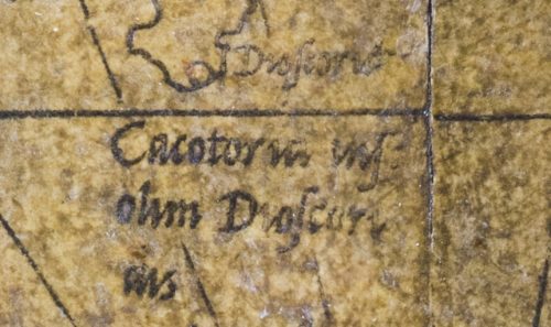
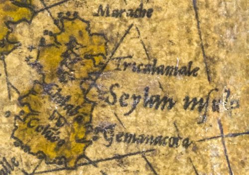
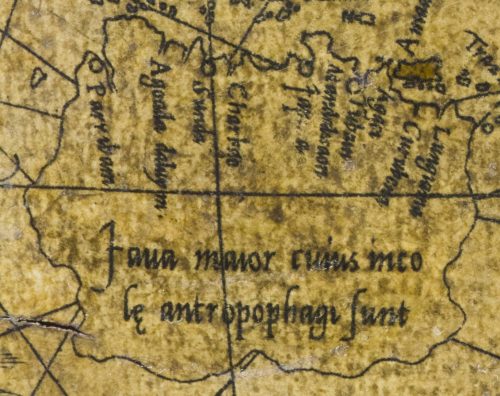
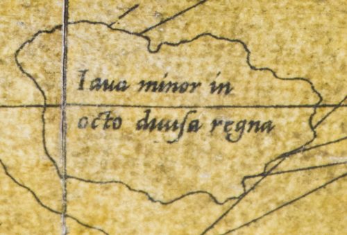
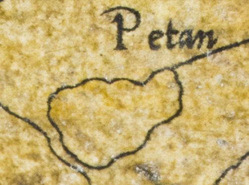
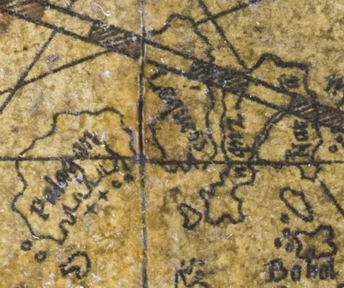
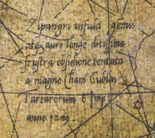
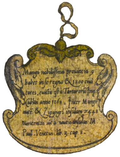
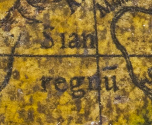
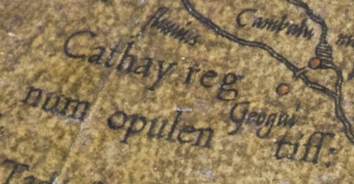
Mercator drew heavily on this compendium. His globe features a host of islands, kingdoms, provinces and places in the locations cited by Polo, sometimes even with the same spelling.
Find out more
- Ptolemy’s contribution : it could be said that the Greek scientist Ptolemy was at once the last great cartographer and astronomer in Antiquity and the first of the Western world.
