Africa
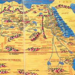
- Ptolemy’s Africa
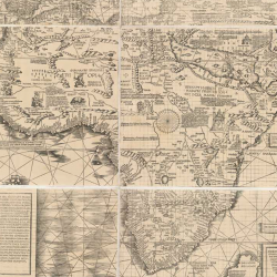
- Waldseemüller’s Africa
- Mercator’s Africa
According to historians the main source for Mercator’s representation of Africa was Martin Waldseemüller’s Carta marina navigatoria (1516), particularly as regards the network of waterways and the northern interior. This work had been practically ignored by Gemma Frisius.
The outlines of the African continent on Mercator’s globe are rich in detail and toponyms, representing major changes compared with Frisius’ globe. But even so little was known about the interior for a long time. Only the coasts were well explored and dotted with trading posts. The circumnavigation of Africa by Portuguese sailors in the late 15th century would roll back the frontiers of the oecumene to some extent, but the hinterland would remain unexplored and unknown. It would not be until the end of the 18th century that expeditions ventured further inland.
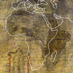
Although the broad outline of Arica seems about right at first glance, overlaying the current projection points up major differences on a general scale.
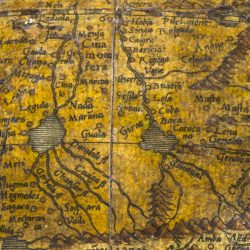
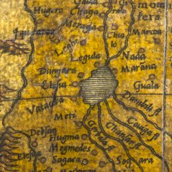
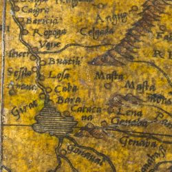
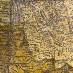
Martin Behaim, Mercator’s forerunner in Germany, put the sources of the Nile in the vast stretches of Ethiopia. Mercator himself preferred to situate them south of the equator, projecting them as being fed by two subequatorial lakes surrounded by a network of mountains. This followed Ptolemy’s conception.
- Sources of the Nile
- Western lake
- Eastern lake
Mercator took great care to represent every segment of the Nile’s course, from its delta divided into seven mouths up to the two lakes where it rises. In order these segments are called Alcair, Apollinis, Syene, Berethis, Sacala and Zoquila. On the branch that flows out of the western lake we find Neli, Zodiata, Ithia, Gorala, Gaida, Chaga and Meraga. On the branch flowing from the eastern lake are Bersera, Haba, Singa, Caigra, Baricia, Ropoga, Uque, Heicer, Buatili, Sesila, Losa, Caba, Girat and Bara. Several of these names are taken from Ptolemy.
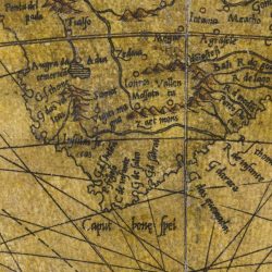
In 1488 Bartolomeu Dias came to a headland swept by ferocious winds. He had reached the most southerly point of the African continent, which he named Cape of Storms. It was rechristened Cape of Good Hope to herald the proximity of the Indies. In 1497 Vasco de Gama would sail all the way around Africa to India.
- Southern Africa
- Cape of Good Hope
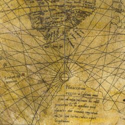
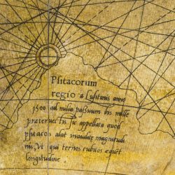
- Land of the Parrots
Below the southern tip of Africa, beyond the Cape of Good Hope, Mercator called a part of the Antarctic continent Psitacorum regio, “Land of the Parrots”.
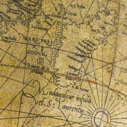
- Islands in the Gulf of Arabia
- Madagascar
Find out more
- Carta marina navigatoria Portugallen : by Martin Waldseemüller, digitised document, Luso-Brasileira Digital Library.
